Norges Verdensarv
Norges Verdensarv
Møt årets verdensarvinger!
Møt verdensarvingene som skal tilbringe fire sommeruker i verdensarven!

Nytt undervisningsopplegg
Etter flere års arbeid begynner endelig undervisningsopplegget vårt å nærme seg ferdig. Ta en titt på det første materialet allerede nå!

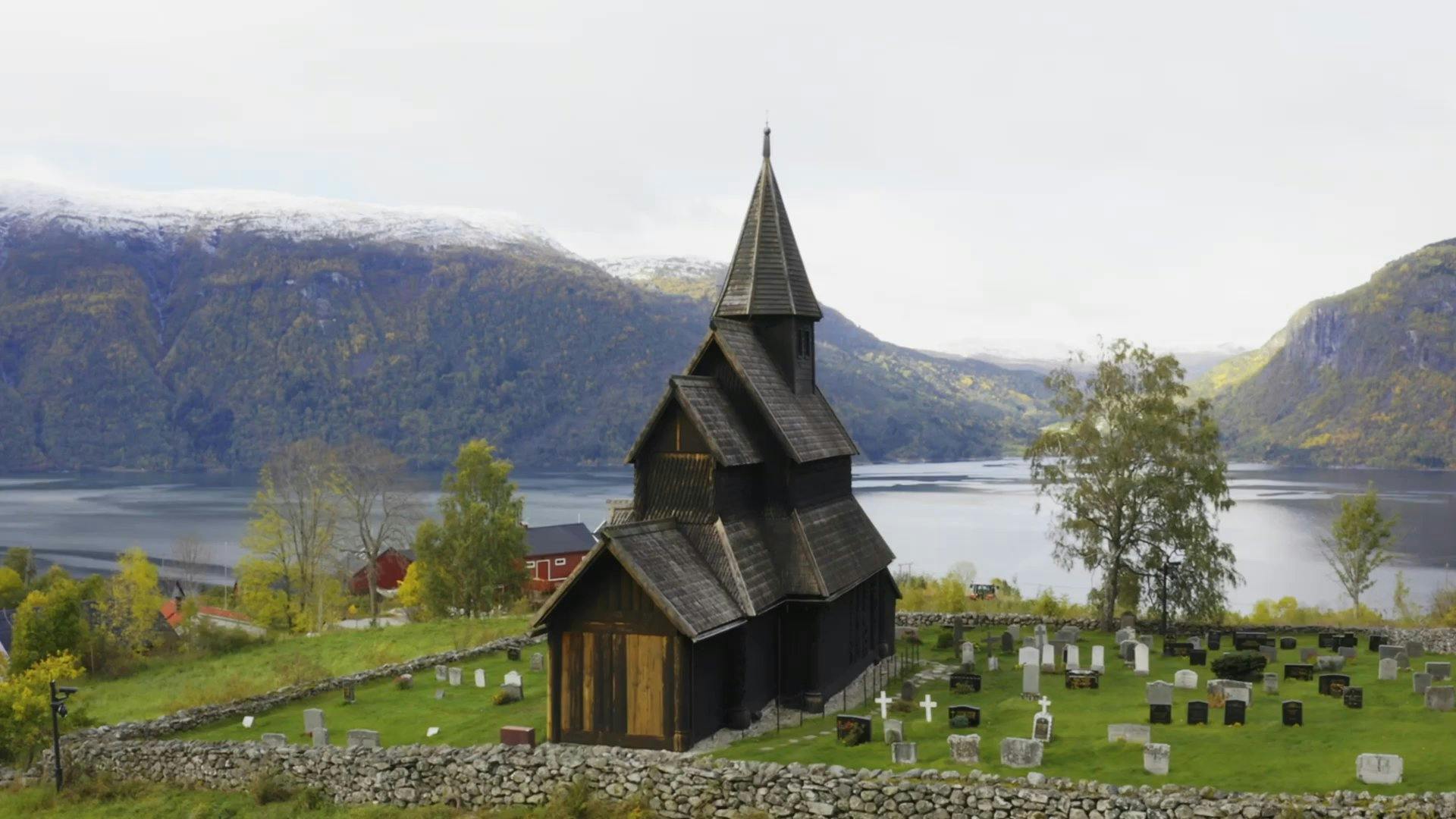
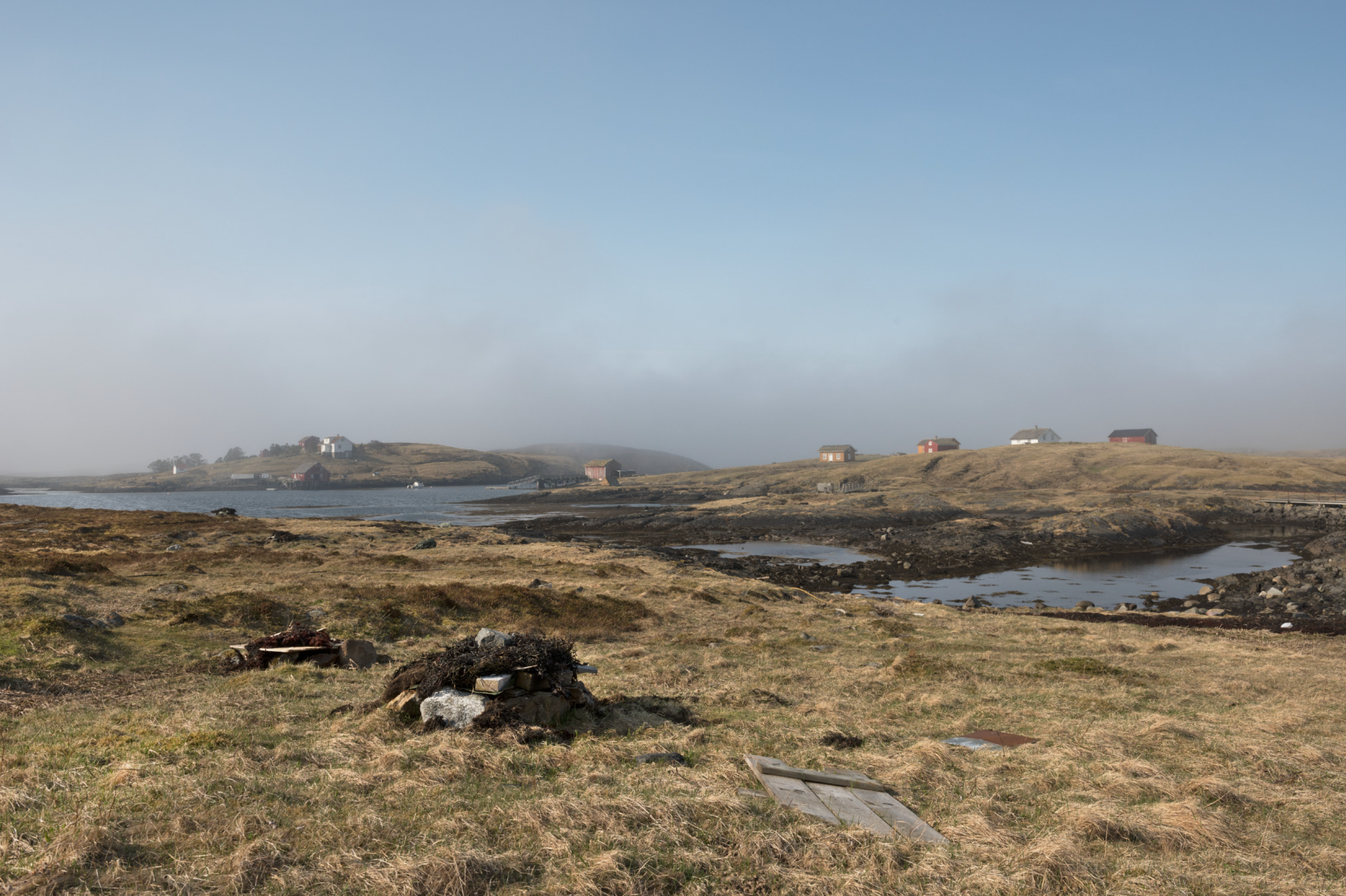
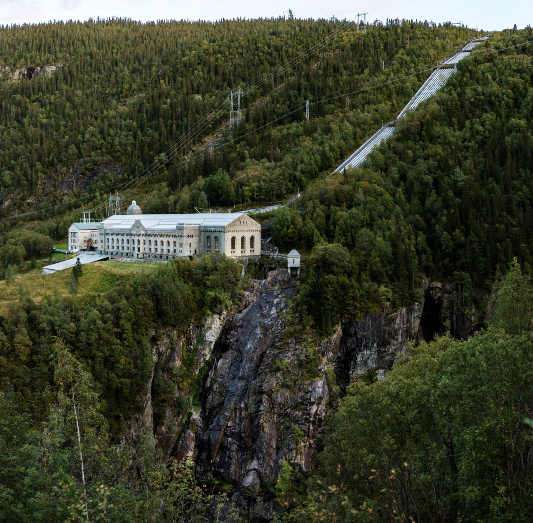
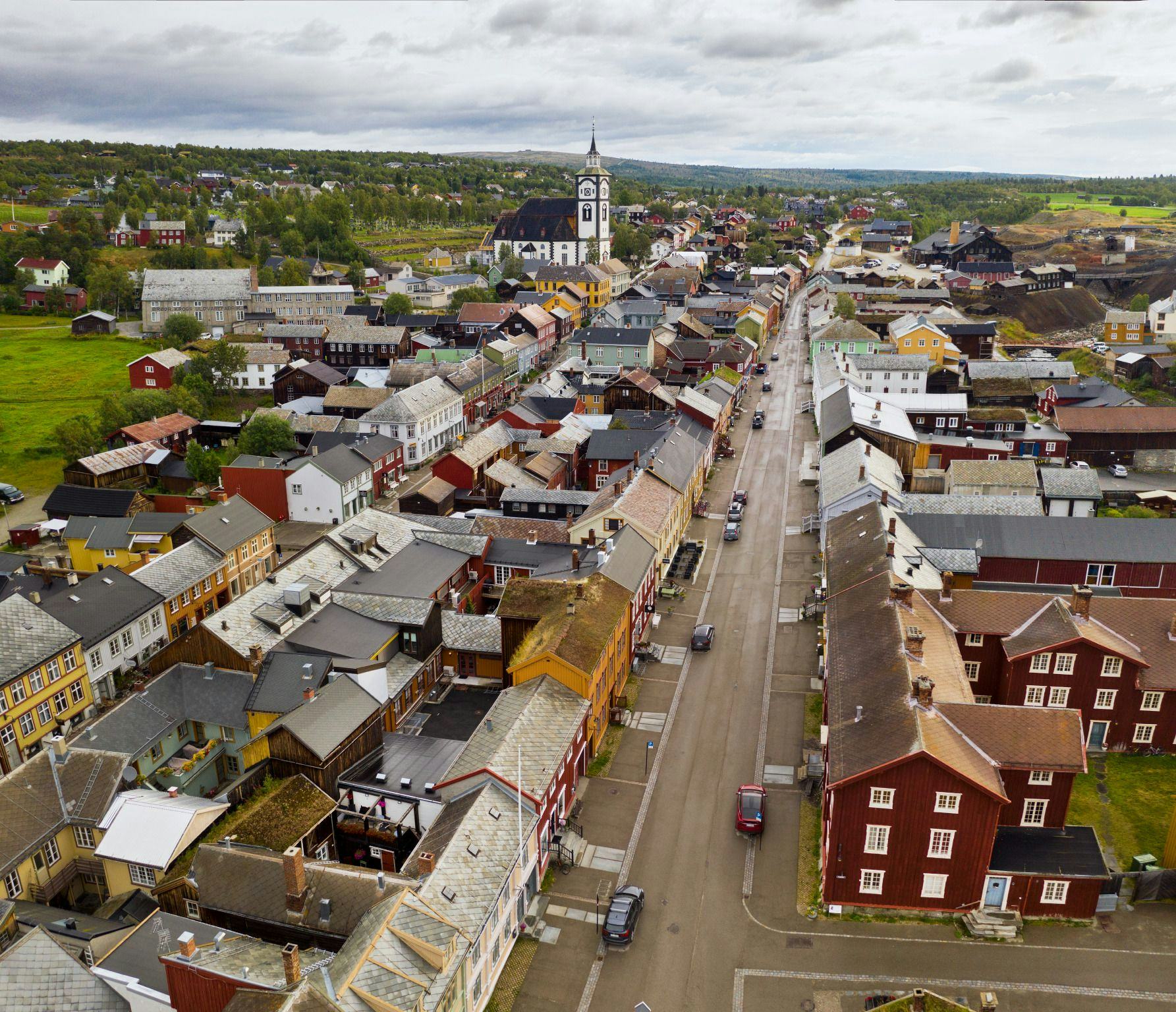
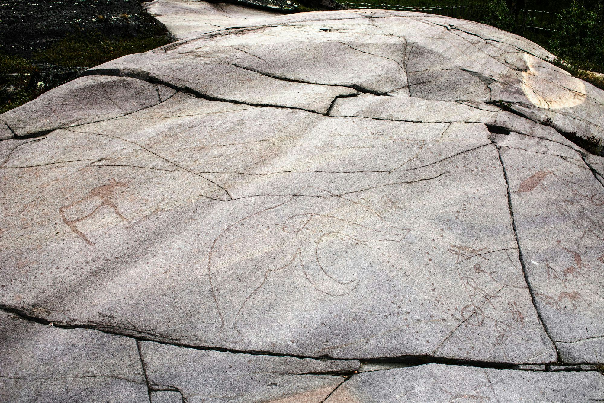
Verdensarven i Norge
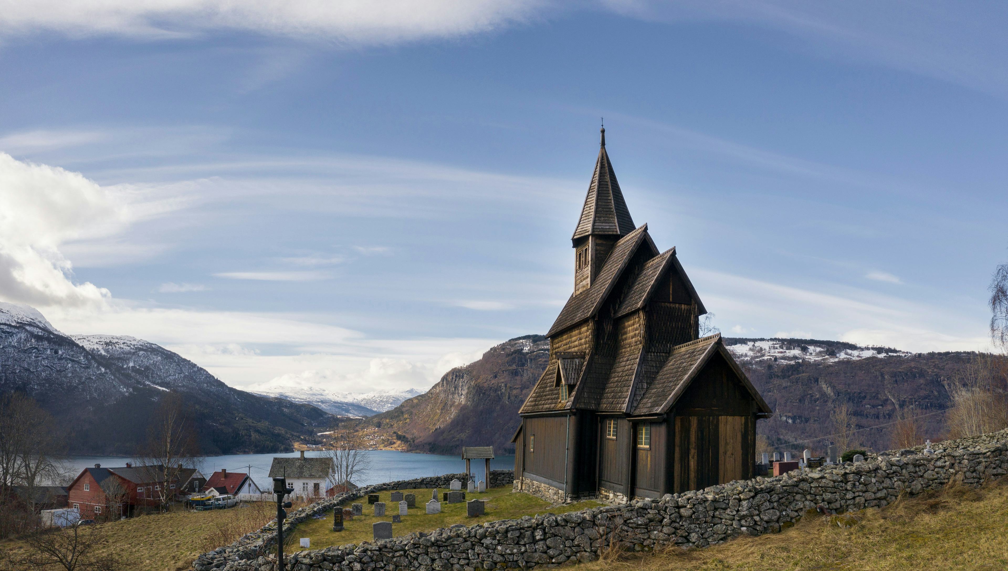
UNESCOs verdensarvkonvensjon fra 1972 beskytter områder som er umistelige for menneskeheten. I Norge har vi åtte steder på verdensarvlisten.
Lyst på jobb i verdensarven?
Vi prøver å holde denne siden oppdatert med aktuelle utlysninger relatert til arbeid i norske verdensarvområder!
Les mer